Map Measure 2: Roofs, 3D aerial views, markup and export
Aerial imagery shows plan area, so roofs need their pitch applied. This video also covers the 3D view, markup and getting measurements out of Map Measure.
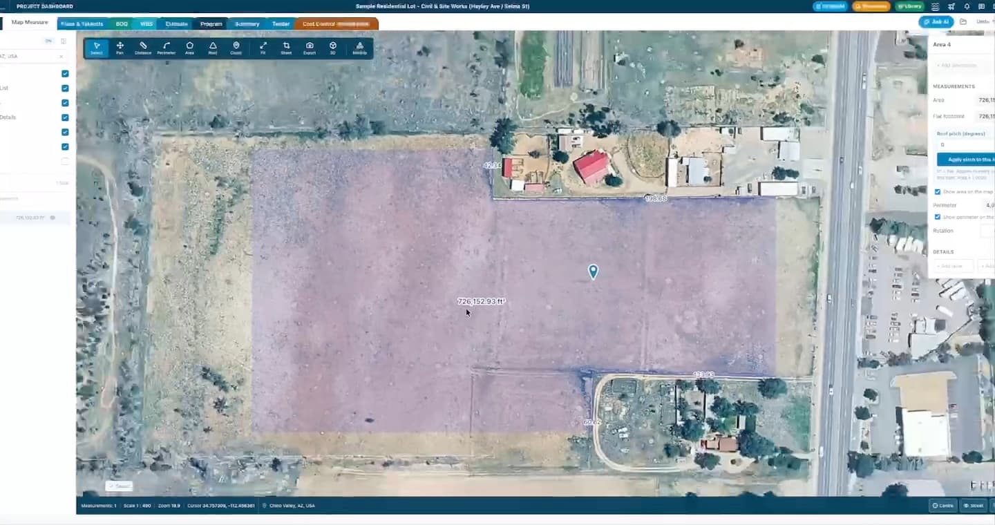 Video coming soon
How to
- 1
Measure a roof
Use the Roof tool so the pitch is applied and you get the true roof surface area, not just its plan area.
- 2
Look at the site in 3D
Switch to the 3D aerial view to understand heights, access and surroundings.
- 3
Mark up the image
Use Markup to add text, lines, arrows and shapes for your team or client.
- 4
Export or carry through
Export measurements to PDF or Excel, or let them flow into the project's quantities and estimate.