Map Measure 1: Measure areas, lengths and counts on aerial imagery
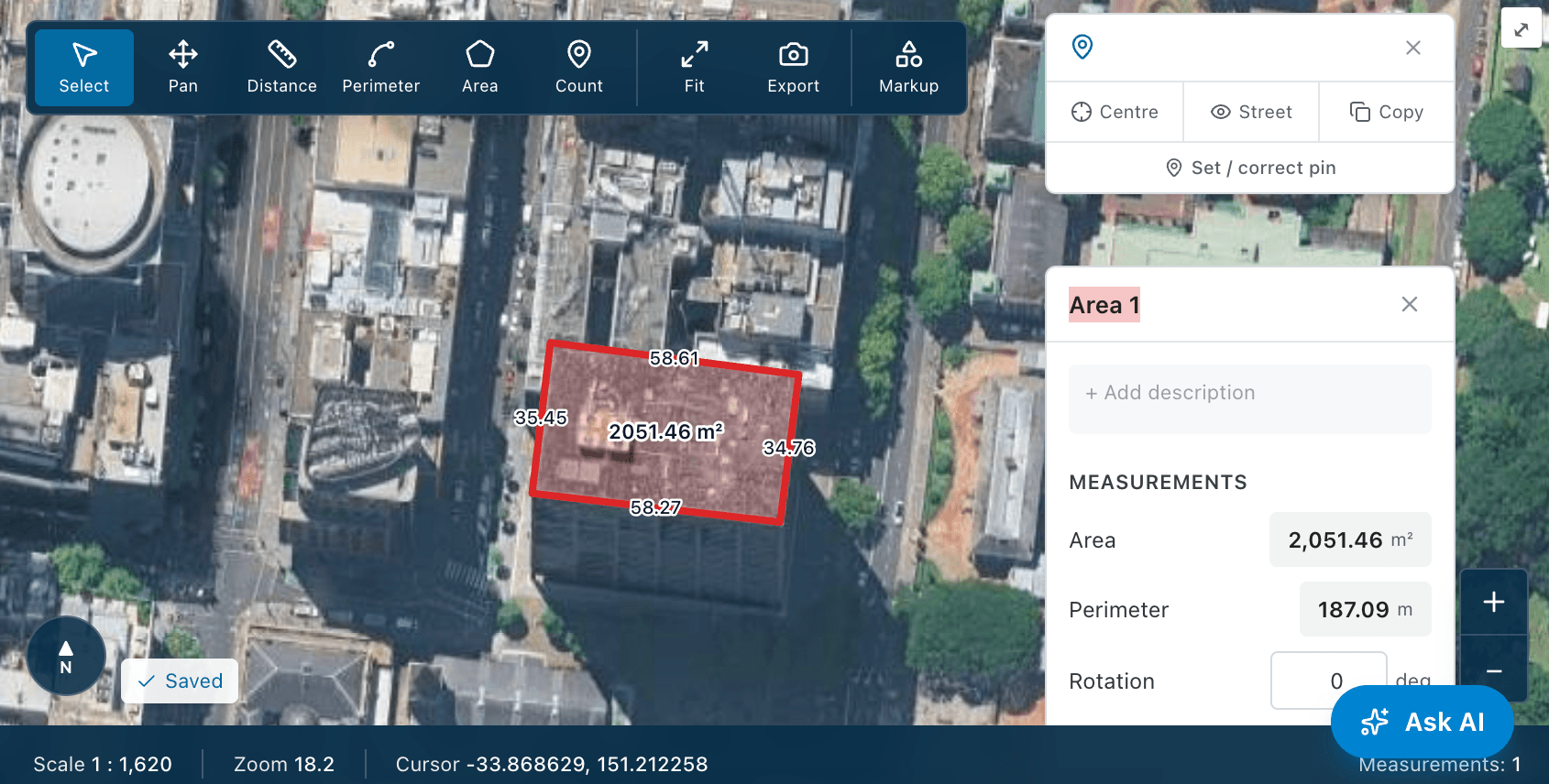
Map Measure takes quantities directly off a top-down aerial image of any address — the fastest way to price existing conditions such as hardstand, driveways, landscaping and site areas.
 Video coming soon
How to
- 1
Open the site
Open the project's Map Measure tab, or search any address. A search not tied to a project is a free measure and is not saved.
- 2
Choose a tool
Pick Area to trace a surface, Distance or Perimeter for a length, or Count to tally items.
- 3
Trace accurately
Zoom in and click each corner exactly on the edge you are measuring, then finish the shape.
- 4
Read the results
Check the area and perimeter in the measurement panel and the Measurement List; turn labels on to annotate.