Aerial Takeoff vs Traditional Takeoff: When to Use Each
What aerial imagery can and cannot measure reliably, when plan-based takeoff is essential, and how to combine both on one project.
By Map Metra teamPublished 5 min read
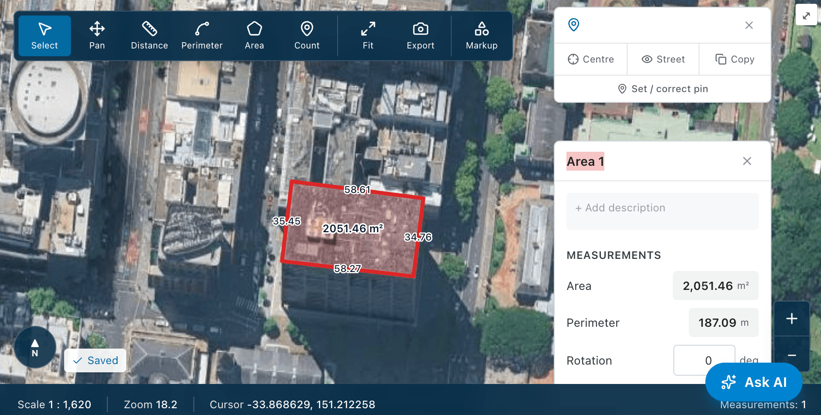
Aerial takeoff measures from top-down imagery of the real site; traditional takeoff measures from the drawings for the work you are pricing. They answer different questions, and the most reliable estimates use each where it is strongest.
What aerial takeoff is good at
- Existing conditions: roof areas for re-roofing, driveways, car parks, paving and hardstand.
- Landscaping, turf, fencing lines and site perimeters.
- Early feasibility and budget pricing before drawings exist.
- Quoting maintenance and remedial work where no current drawings are available.
- Checking site access, setout and neighbouring constraints before a site visit.
Roofs need one extra step: imagery shows plan area, so the pitch must be applied to get the true surface area. Map Metra's Roof tool does this for you once the pitch is known.
Where aerial imagery reaches its limits
- It shows the site on the date the imagery was captured, which may be out of date.
- Trees, shadows and overhangs can hide edges.
- It cannot see inside buildings, underground or under cover.
- It measures what exists — not what is designed to be built.
What traditional (plan) takeoff is for
New work is priced from the design. Plan takeoff measures the quantities the drawings specify — wall lengths and areas, floor areas, openings, fixtures and fittings, services — at the scale of the drawing. Accuracy depends on a correct scale, so calibrate each sheet against a known dimension and check it on a second one.
Speeding up plan takeoff
- Count repeated symbols by example instead of clicking each one, and check the legend so look-alike symbols are excluded.
- On CAD-generated PDFs, select wall runs and room boundaries directly rather than tracing them.
- Derive quantities from measured ones — blocks from a wall area, concrete from a slab area and thickness — instead of measuring twice.
Using both on one job
A typical remedial or extension job might measure the existing roof, paving and site boundary from aerial imagery and the new structure from the drawings. Keeping both in one project means every quantity flows into the same Bill of Quantities and estimate, with its source recorded. See how the Map Measure and Plans & Takeoff steps fit together.